Get the latest Science News and Discoveries

NASA’s Ready-to-Use Dataset Details Land Motion Across North America


An online tool maps measurements and enables non-experts to understand earthquakes, subsidence, landslides, and other types of land motion.

None

Get the Android app

Or read this on NASA

Read more on:

Photo of dataset details

dataset details

Photo of NASA

NASA

Photo of North America

North America

Related news:

News photo

NASA Mars Orbiter Captures Volcano Peeking Above Morning Cloud Tops

News photo

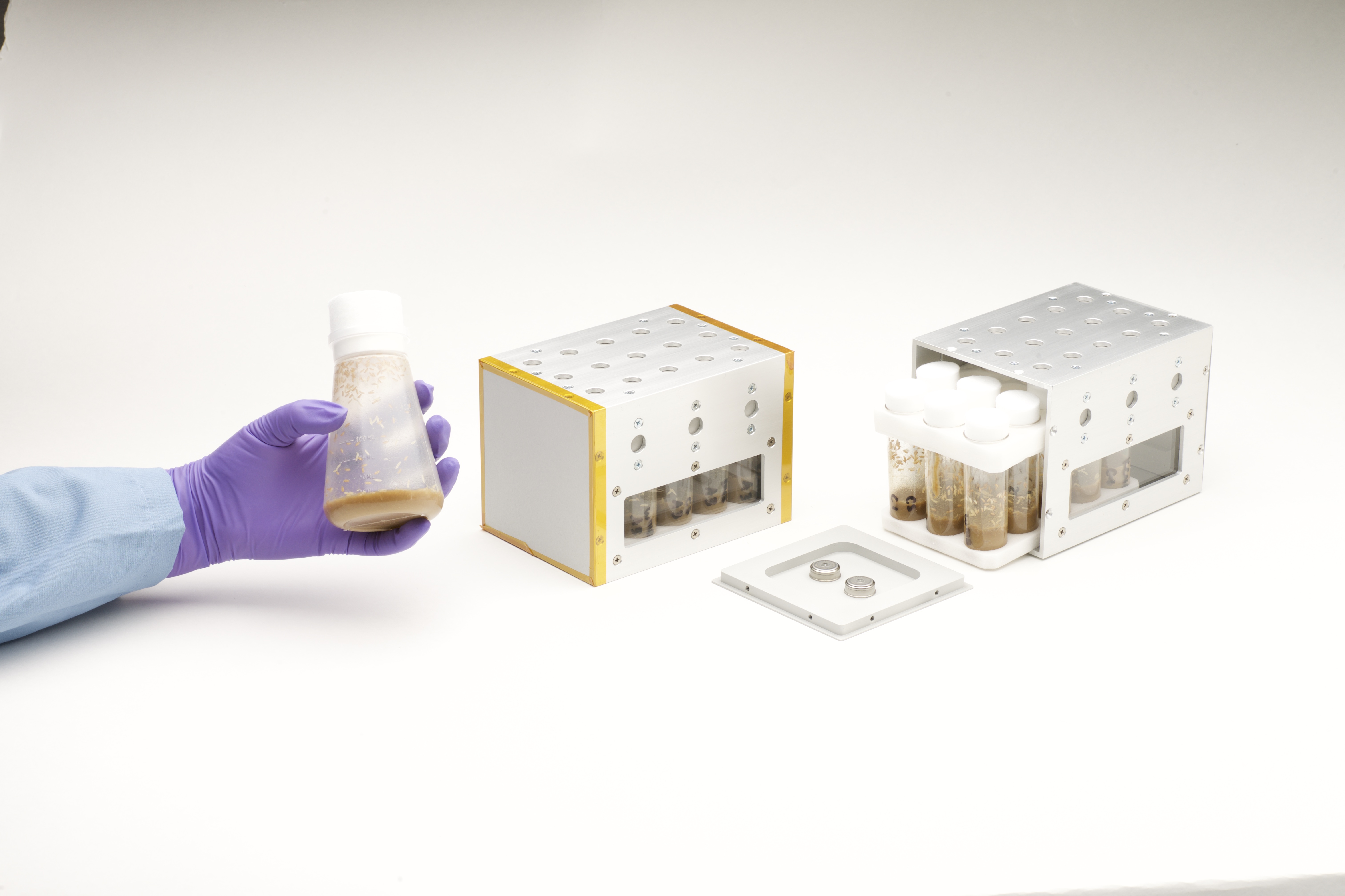
NASA Provides Hardware for Space Station DNA Repair Experiment

News photo

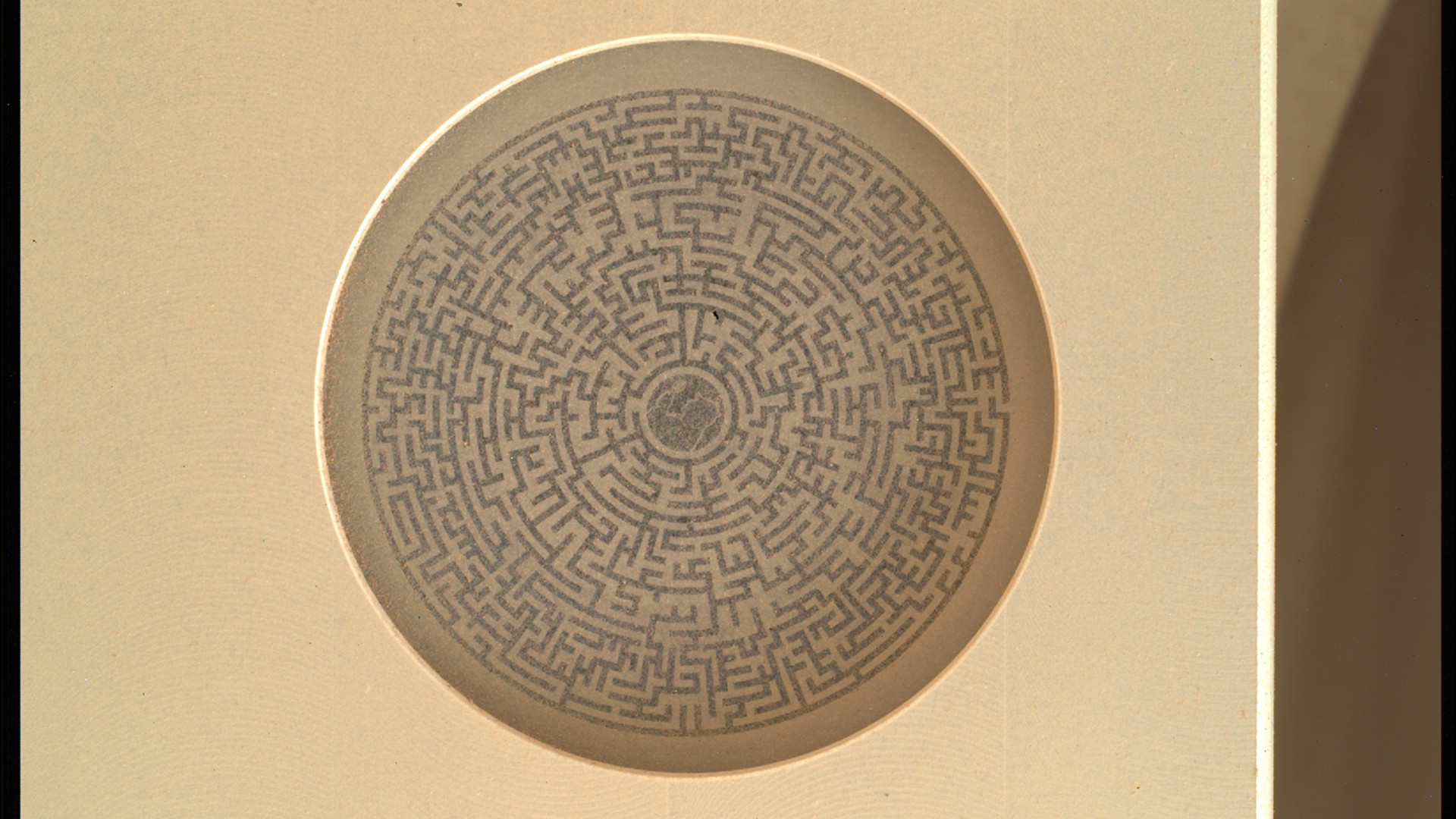
Why does NASA's Perseverance rover keep taking pictures of this maze on Mars?