Get the latest Science News and Discoveries

India Is Using AI and Satellites to Map Urban Heat Vulnerability Down to the Building Level


Remote-sensing data and artificial intelligence are mapping the most heat-vulnerable buildings in cities like Delhi, in an effort to target relief from extreme temperatures at a granular level.

None

Get the Android app

Or read this on Wired.com

Read more on:

Photo of building level

building level

Photo of Satellites

Satellites

Photo of India

India

Related news:

News photo

Eager to become a space superpower, India is sending its 1st astronaut to space in 4 decades

News photo

The Mother of All Meteor Showers Could Threaten Satellites

News photo

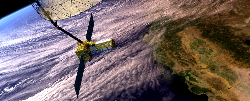
NASA Teams Up With India to Launch First-of-Its-Kind $1.5 Billion Satellite