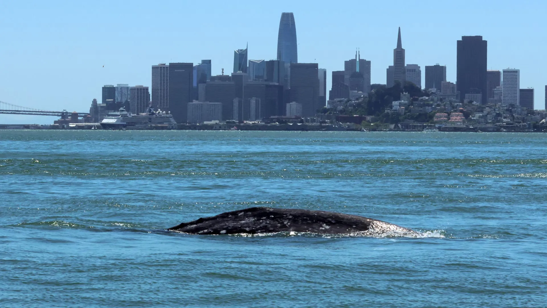
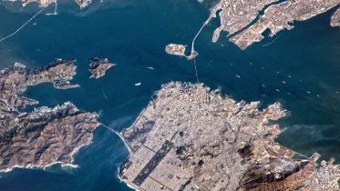
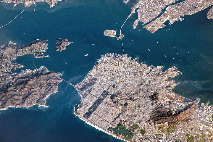
San Francisco Bay
San Francisco Bay is a large tidal estuary in the U.S. state of California, and gives its name to the San Francisco Bay Area. It is dominated by the large cities of San Francisco, San Jose, and Oakland. San Francisco Bay drains water from approximately 40 percent of California. Water from the Sacramento and San Joaquin rivers, and from the Sierra Nevada mountains, flow into Suisun Bay, which then travels through the Carquinez Strait to meet with the Napa River at the entrance to San Pablo Bay, which connects at its south end to San Francisco Bay. It then connects to the Pacific Ocean via the Golden Gate strait. However, this entire group of interconnected bays is often called the San Francisco Bay. The bay was designated a Ramsar Wetland of International Importance on February 2, 2017.