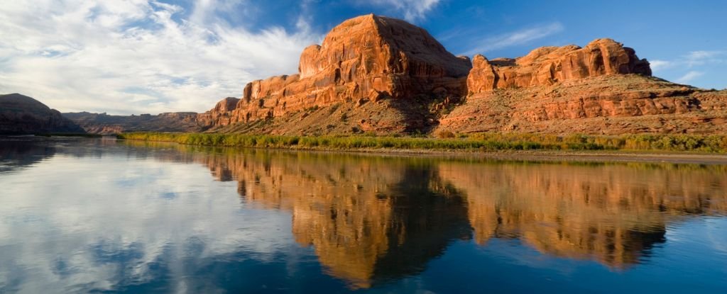
Colorado Plateau
The Colorado Plateau, also known as the Colorado Plateau Province, is a physiographic and desert region of the Intermontane Plateaus, roughly centered on the Four Corners region of the southwestern United States. This province covers an area of 336,700 km² within western Colorado, northwestern New Mexico, southern and eastern Utah, northern Arizona, and a tiny fraction in the extreme southeast of Nevada. About 90% of the area is drained by the Colorado River and its main tributaries: the Green, San Juan, and Little Colorado. Most of the remainder of the plateau is drained by the Rio Grande and its tributaries. The Colorado Plateau is largely made up of high desert, with scattered areas of forests. In the southwest corner of the Colorado Plateau lies the Grand Canyon of the Colorado River. Much of the Plateau's landscape is related, in both appearance and geologic history, to the Grand Canyon.

