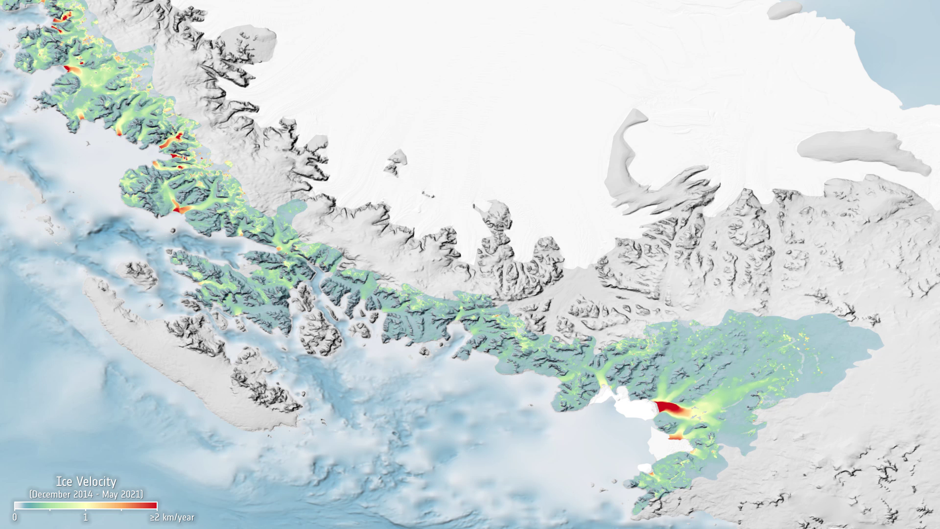
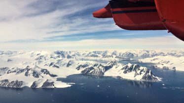
Antarctic Peninsula
The Antarctic Peninsula, known as O'Higgins Land in Chile and Tierra de San Martin in Argentina, and originally as Graham Land in the United Kingdom and the Palmer Peninsula in the United States, is the northernmost part of the mainland Antarctica. The Antarctic Peninsula is part of the larger peninsula of West Antarctica, protruding 1,300 km from a line between Cape Adams and a point on the mainland south of the Eklund Islands. Beneath the ice sheet that covers it, the Antarctic Peninsula consists of a string of bedrock islands; these are separated by deep channels whose bottoms lie at depths considerably below current sea level. They are joined by a grounded ice sheet. Tierra del Fuego, the southernmost tip of South America, is about 1,000 km away across the Drake Passage. The Antarctic Peninsula is 522,000 square kilometres in area and 80% ice-covered.