Get the latest Science News and Discoveries

AI can predict landmine areas from satellite images


An AI model can identify landmine areas with up to 92 per cent accuracy, which could help to speed up the removal of the deadly devices

None

Get the Android app

Or read this on New Scientist

Read more on:

Photo of landmine areas

landmine areas

Photo of Satellite Images

Satellite Images

Related news:

News photo

Satellite images of Rafah illustrate Palestinians fleeing the city

News photo

Ships smuggling Russian oil spotted in satellite images by AI

News photo

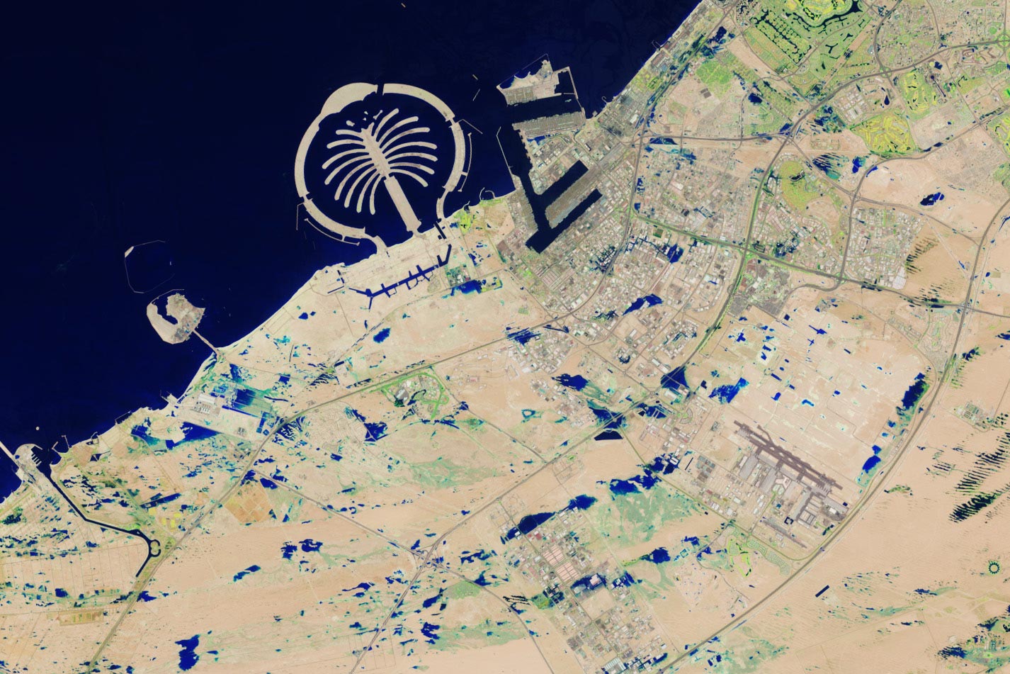
Satellite Images Capture Extraordinary Flooding in the United Arab Emirates